South Korea · route
4 Rivers Journal
We landed in Seoul with not much of a plan, outside of a warning from a friend not to compare Korea to Japan because they are quite different. Maybe because of that warning, or maybe because we hadn’t heard much hype about South Korea in general, we were surprised by how much we liked it right away.
We spent a couple of days in Seoul, but our experience in Japan had already taught us that we are not big city people and wanted to get out into the countryside pretty quickly. Seoul was still cool to see, and within minutes of walking down the street we stumbled across live K-pop performances. After wandering around and making one attempt at going out (it was fine, but felt very young), it was time to start cycling. We jumped onto the famous Four Rivers route, which was easy to follow as it goes along the river right out of the city, taking us through old railway tunnels and past river dams.
We eased into the trip on our first day with a short 30 km spin out of the city, gaining just 150 m of elevation as we made our way to a Jjimjilbang on the outskirts. We did not know exactly what a Jjimjilbang was, but expected to sleep in them for most of our nights in Korea. We arrived and the lady at the entrance gave us a quick brief, which we obviously did not understand. Our complete lack of understanding was obvious to the locals, who watched us walk into the main area wearing regular clothes and hauling our bike bags. A firm employee quickly approached us, instructing us to leave our gear outside and change into the matching uniform we were given. A few minutes later we regrouped, and Y took a lap around the place. He came back glowing. There was a restaurant, a karaoke room, billiards, 10 different types of saunas, a game room, and a bathhouse downstairs. Since it was a Sunday the place was pretty full, but by nightfall most people left and only the overnighters remained. We grabbed two very thin mattresses, found a floor spot in the main hall, and fell asleep. The next morning we left with Y basically in love with the concept. We spent the rest of the trip hunting down Jjimjilbangs, only to learn that many had shut down during COVID.
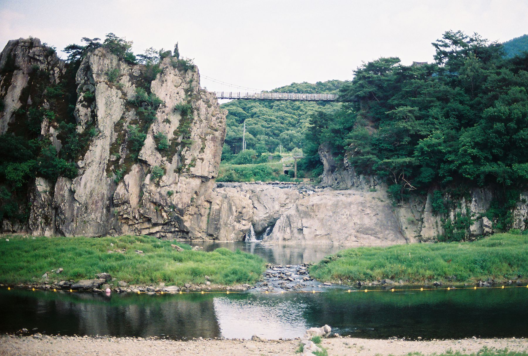
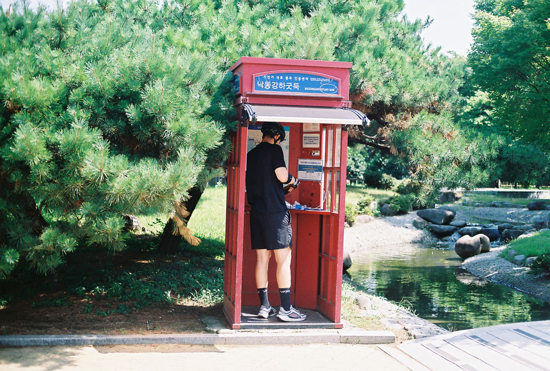
The weather was very hot, hot enough that we kept getting emergency public safety alerts on our phones advising people to stay indoors. During the hottest hours, we took long breaks in coffee shops or ice cream stores with AC and hung out as long as we needed. The route itself was so straightforward that we barely opened a navigation map except to find food. Every few kilometers we passed red telephone booths used for the official cross-country bike stamps, which made us wish we had bought the stamp passport booklet.
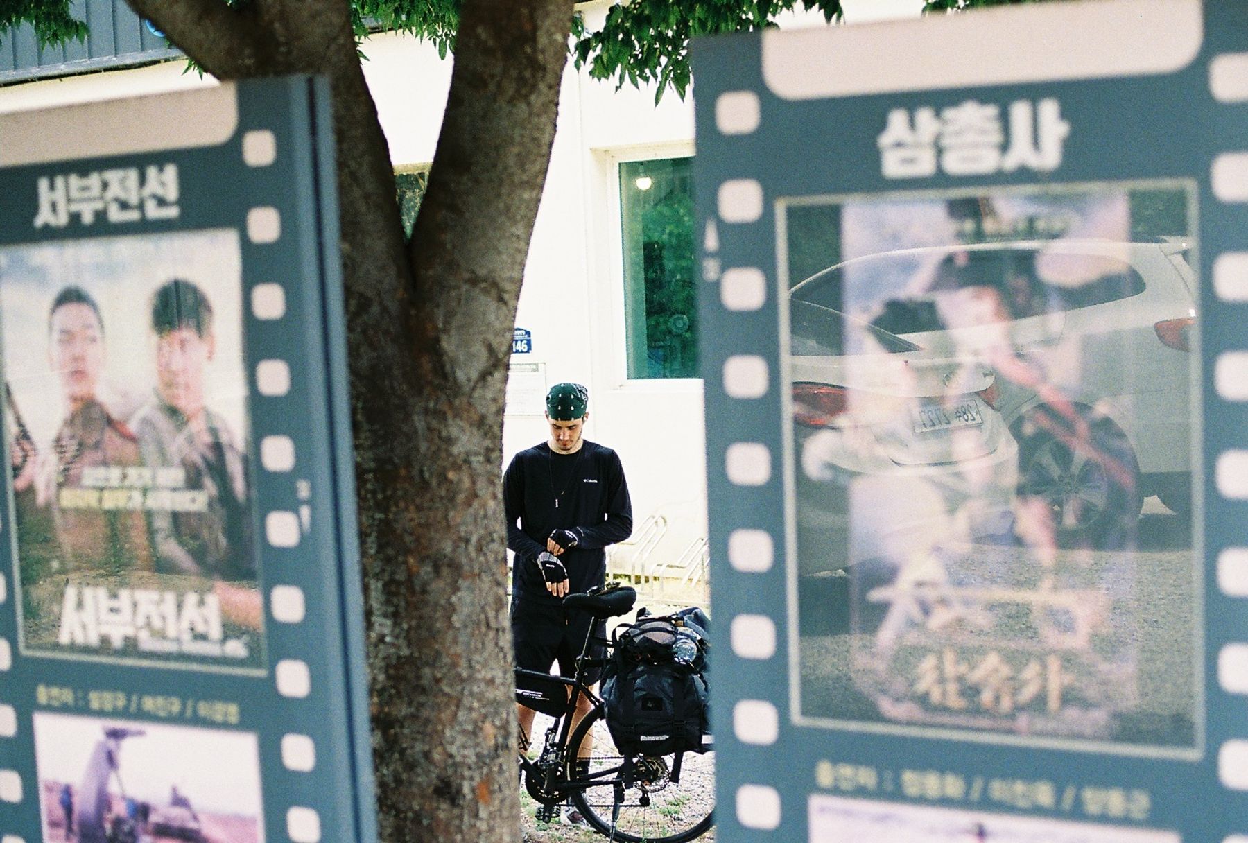
Our second day took us a comfortable 65 km along the flat riverbanks, with around 300 m of light rolling elevation into Yeoju-si. We checked into a nice motel, which turned out to be a love hotel like almost everywhere else we stayed. They were clean, quiet, and cheap. In Yeoju we also had our first Korean Fried Chicken. My dad is obsessed with fried chicken, so I was not expecting anything vastly different from what I had eaten throughout my life, but it really was better. The batter is lighter, the seasoning is good, and it just tastes better. Can’t put a finger on why.
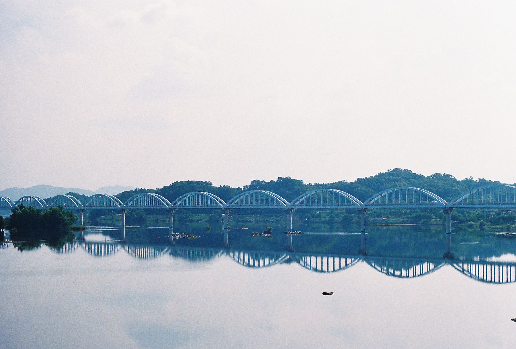
On our third day, we stretched our distance to about 80 km with roughly 400 m of gradual climbing as we rode to Chungju-si, a hot spring town. As we got farther from Seoul, seeing people became rarer, the towns got smaller, and the locals were excited to see cyclists on the trail. We still met fellow bikepackers going both directions. Whenever we showed up at a hotel, the owners would pop out from a neighboring street already knowing our names from our online reservation, simply because we were the only foreigners in town.
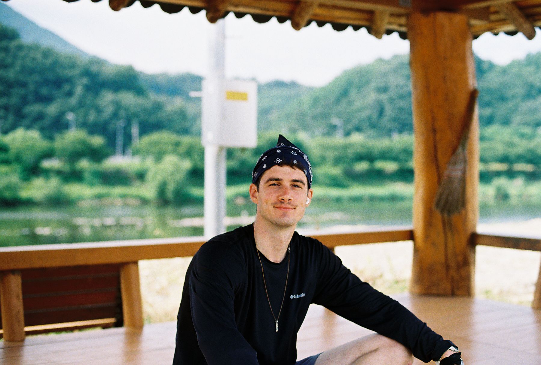
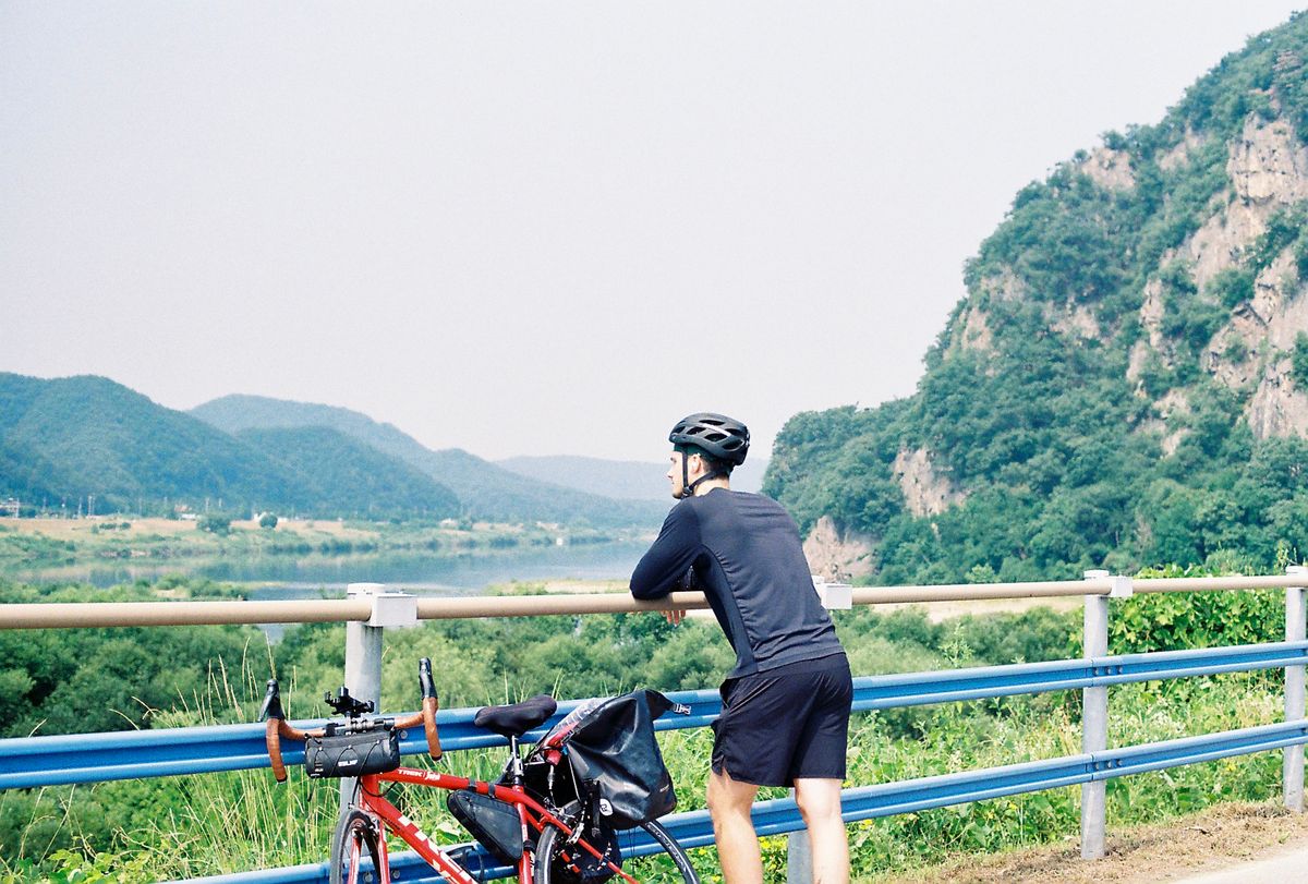
While our fourth day into Mungyeong-si was a shorter 65 km on paper, it packed the biggest climb of the whole ride, adding roughly 850 m of elevation as we traded the flat riverbanks for the Saejae mountain section. This was where we crossed Ihwaryeong Pass, the dividing mountain pass between the river systems topped with a large stone archway. After preparing ourselves for a tough climb, it was honestly easier than we expected.
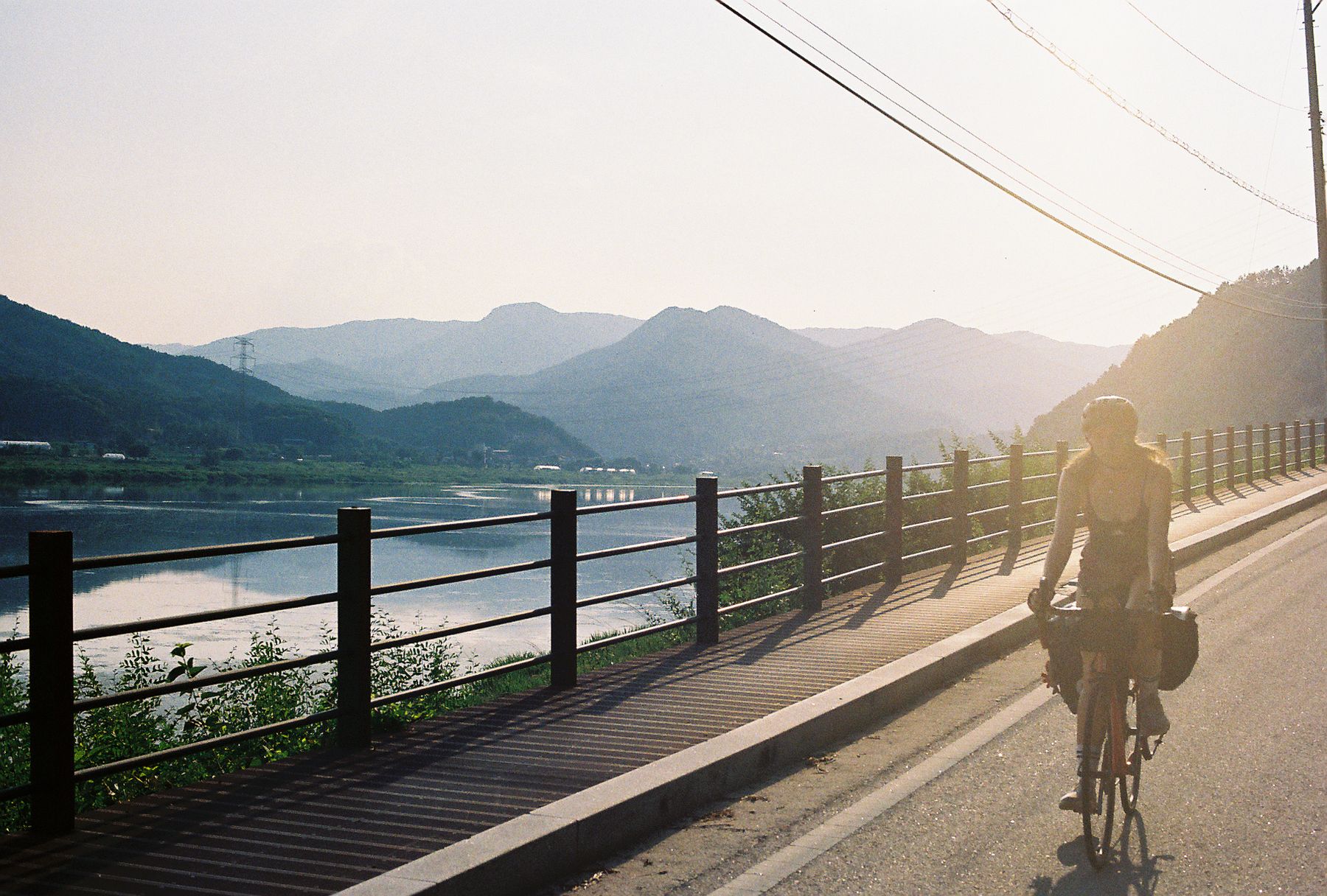
From there, the trail dropped back down along the Nakdonggang River for an 85 km fifth day through about 350 m of gentle terrain into Gumi-si. This stretch went through farmland, melon fields, and long wooden boardwalks built directly onto the cliffs over the water.
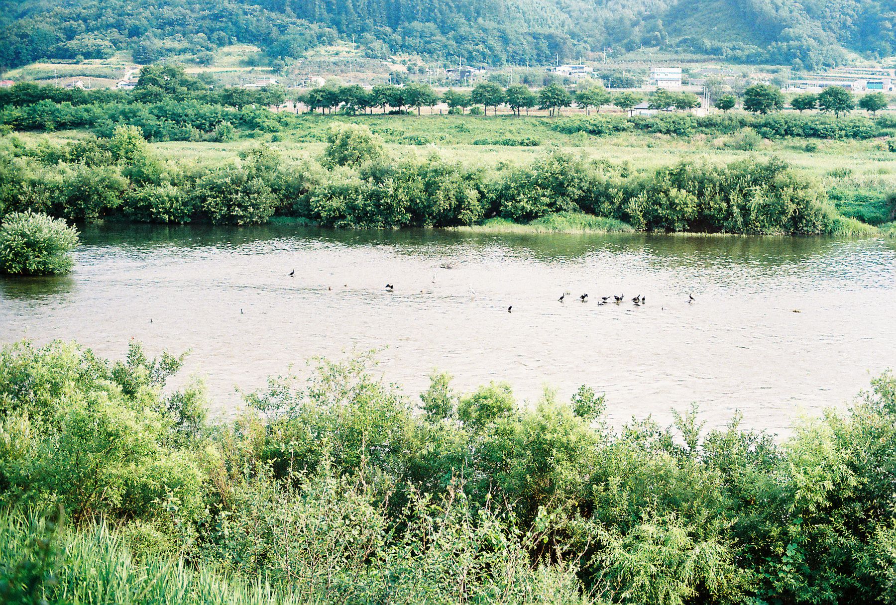
By day six, we were in a solid rhythm, knocking out a longer 95 km stretch over 500 m of rolling river bluffs down to Changnyeong-gun.
Our final day was a big 100 km push, though mostly flat with only 350 m of elevation gain as we followed the river levees straight into Changwon and finished at the sea in Busan. Altogether, the route took us about a week and was made memorable by kind locals and smooth paths!